Overview
Marcel applies geometric and topological methods to image analysis tasks where labeled data is limited, inconsistent, or expensive to produce. Rather than relying entirely on large annotated datasets, our approach uses the intrinsic structure of images to guide foundation segmentation models toward accurate, targeted results. This includes detecting ridges, vessels, and other fine-scale features through mathematically grounded algorithms.
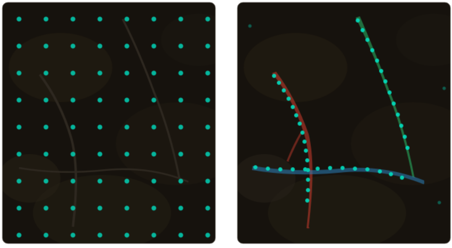
How it works
GeomPrompt is one implementation of this approach: a Python library that detects multi-scale ridge-like features and generates segmentation prompts based on their geometric salience. This enables models such as SAM and SAM2 to segment fine structures of interest without task-specific training.
Results
In benchmarks on plant root imagery, a domain with scarce and subjective annotations, geometric prompting achieved comparable recall to grid-based prompting while using an order of magnitude fewer prompts and producing lower false positive rates.
The same methodology extends naturally to scientific, medical, industrial, and geospatial imaging tasks where meaningful geometric structure exists but high-quality labels are difficult to obtain.